 We had two objectives for day 2. The first of which was to get to Stanley, resupply the little bit of food and what not we had used and find some hot springs. The second was to click off some miles and see if we could gain a little ground as to ease our minds on the progress of our trip. Yes, we had almost done 40 miles the day prior despite a super late start, but now we were tired and the prospect of doing it all again for 500+ more miles was exciting and a bit terrifying.
One of those two things went super well, the other, not so much.
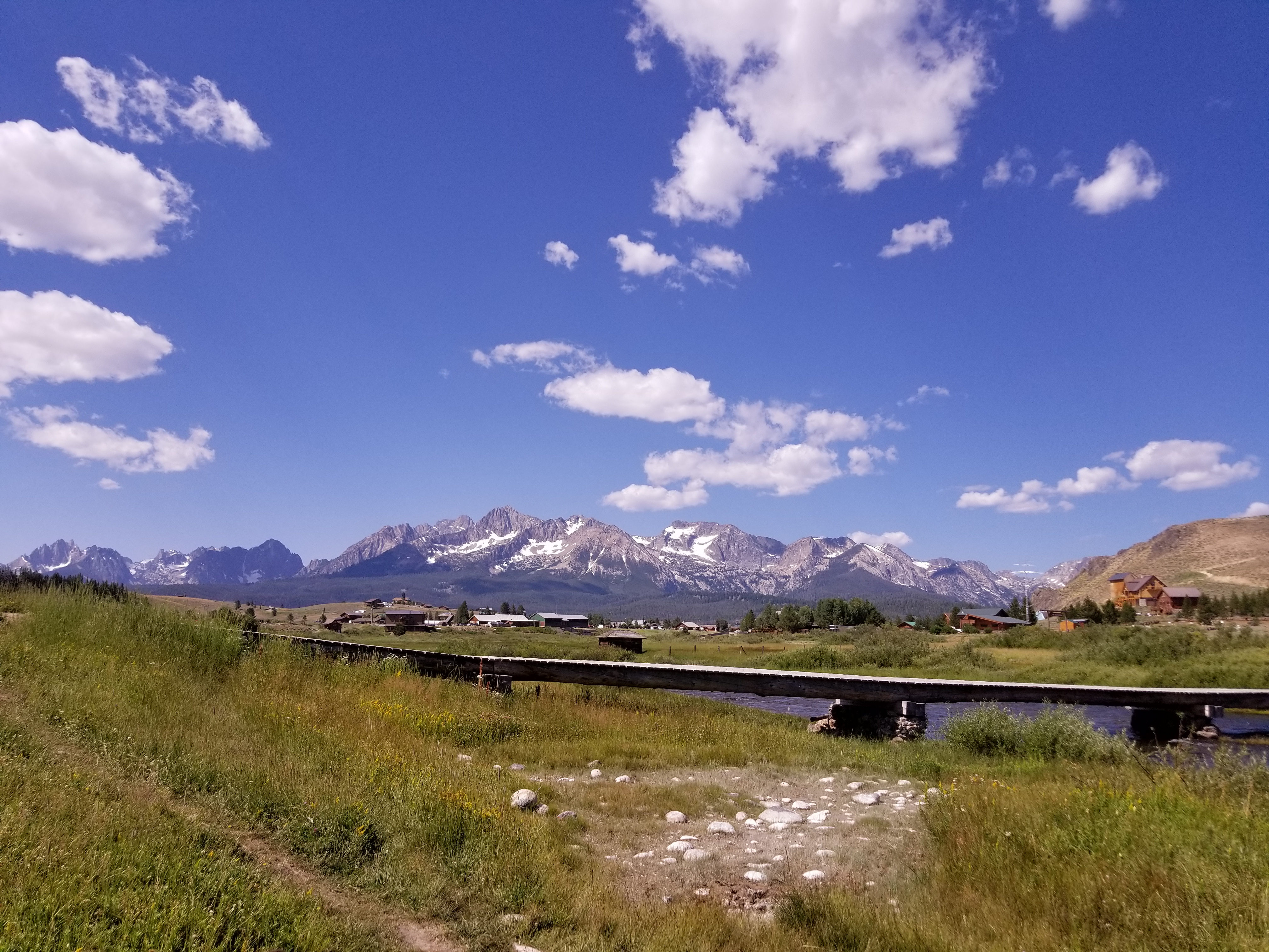
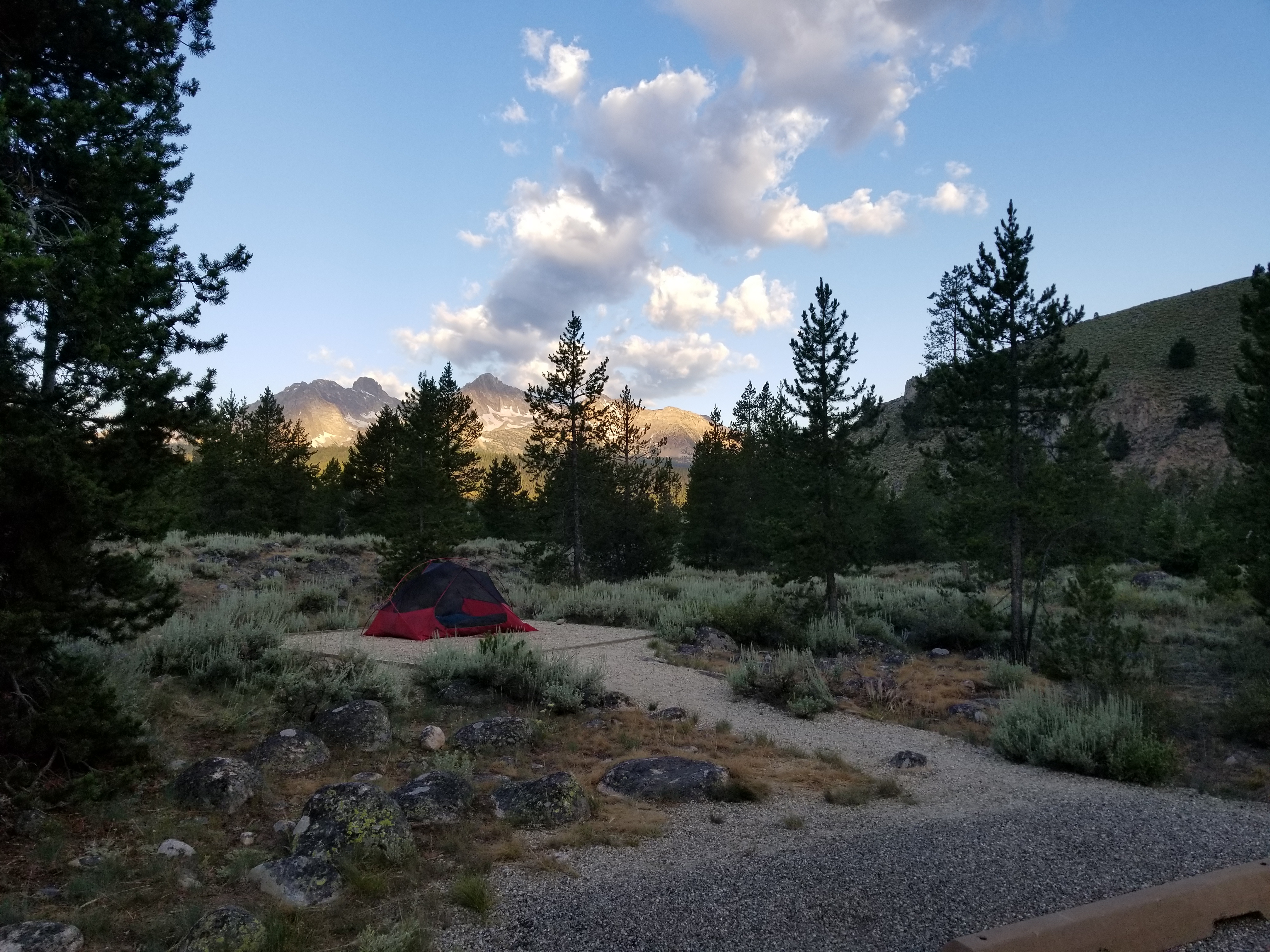
From our camp at Sunny Gulch, we had around 6 miles of pavement to get to Stanley. An easy task and pretty straight forward. We arose with the sun, got another fire going, ate breakfast and broke camp. We were on the road early and the air was crisp, but after a short pedal we were both warmed up and hit Stanley in good temperament.
We found the grocery store and thought, huh, not a lot of variety. We had no idea this would be the best stocked restocking location we would have outside of McCall. After our resupply, we set about finding a hot spring to enjoy.
There are two springs listed on the map, Mountain Village Resort and Snake Pit. I’m a much bigger fan of primitive, non-developed springs than I am of the pay to soak style and seeing that both were well rated, we opted to find the latter.
Hot Springs are marked on the map with a blue dot and have somewhat vague details on how to get to them. Almost every one we found was a bit of an adventure. This one was no different.
The details we had told us to head back on the pavement, hang a left into a store’s parking lot and then just follow the dirt road to a bridge that would take us to our hot pot. Everything was perfect till we hit the dirt road and found it to be blocked off with big no access signs. As we were scratching our heads and thinking, let’s just go for it, an employee for the store rolled up and informed us the road was not passable due to construction. She gave us a tip that if we rolled back into Stanley, we could access it from across the street of the grocery store.
Back into Stanley… After some wandering around, a quick Google Earth visit and some let’s just go for it, we found that the 2 springs are actually right next to each other. One is an open air, non-developed site. The other is a cabin with a tub in it that has doors that swing open for a view of the Sawtooths. You could hear the conversations from both they were so close.
We rolled up on our bikes to find the spring inhabited by one hippy looking dude. It was visibly obvious he was non-plussed by our arrival, but was gracious and answered in the positive when we inquired if we could join him. We pulled out the towels, made a quick change of the clothes, and despite the early time of the day, pulled out a couple of beers and plopped into the water.
He warmed up to us after a few minutes, but hung onto the fact that we were outsiders and tourists were ruining the place suggesting that no one knew of said springs before the publication of the “book.” I assumed there had been some guide book published about hot springs, but when I pressed him about the “book” he would dodge the question. I have a hard time believing that Snake Pit was ever a secret. For one, it was right next to the resort’s tub and two, you could pretty much see it from the parking lot above. And everyone we had asked about it, knew where and how.
After our beer, soak and Mama Bear making friends, we forced ourselves out of the hot water and back onto the bikes. Seeing that I had drank my typical 32 oz of water prior to my coffee, ridden 6 miles and then drank a beer. I had to pee. We headed back to the grocery store for said accommodations and ran back into our hippy friend. He introduced himself and invited us into his workspace. Come to find out he had lived off the grid for several years and was now attempting a go of things as a photographer. You can check out his stuff here.
One objective down and that was the one that went smoothly.
The cue sheet reads, and I quote, “At “Y” stay straight on unsigned Valley Creek Rd. and Cross Creek. Road ends. Continue onto…” At a Y, there is a left and a right, not necessarily a stay straight. In this instance, the most “straight” option was the left side of the Y. To further confuse things, the “Road ends” part made the left feel even more right as there was a sign that said, “Road Ends.” It was a mere 50 yards from this Y that the gps said, no, you are going the wrong way.
We stop and consult the cue sheet and the map. The map shows the Y, but also shows that both essentially parallel the river and then come back together suggesting that even if this is the wrong way, we would be back to the right way within 1.5 miles. I ride back and look at the Y and the Road Closed sign. Sure seems right to me.
We forge on. And then come to a downed tree. We had been through this before. Once over the obstacle, we continued. Another tree. Then another, then so many that we were walking and not riding at all. And then some reprieve only to be, once more, stopped by the damn trees. More walking. We get to the point that turning around isn’t so much an option as it is what we should have done at the beginning. We are now well over an hour into a hike-a-bike and the road ends, like both the sign and the cue sheet said it would.
It is now abundantly clear that “straight” meant right, not left. The GPS is telling us that we should be about a half mile to the other side of the stream. Seeing that it took us 1.5 hours to go the last mile or so, turning around isn’t an option. I take off my cycling shoes and slip on my trusty Chacos and tell KB to do some waiting whilst promising to not leave ear shot.
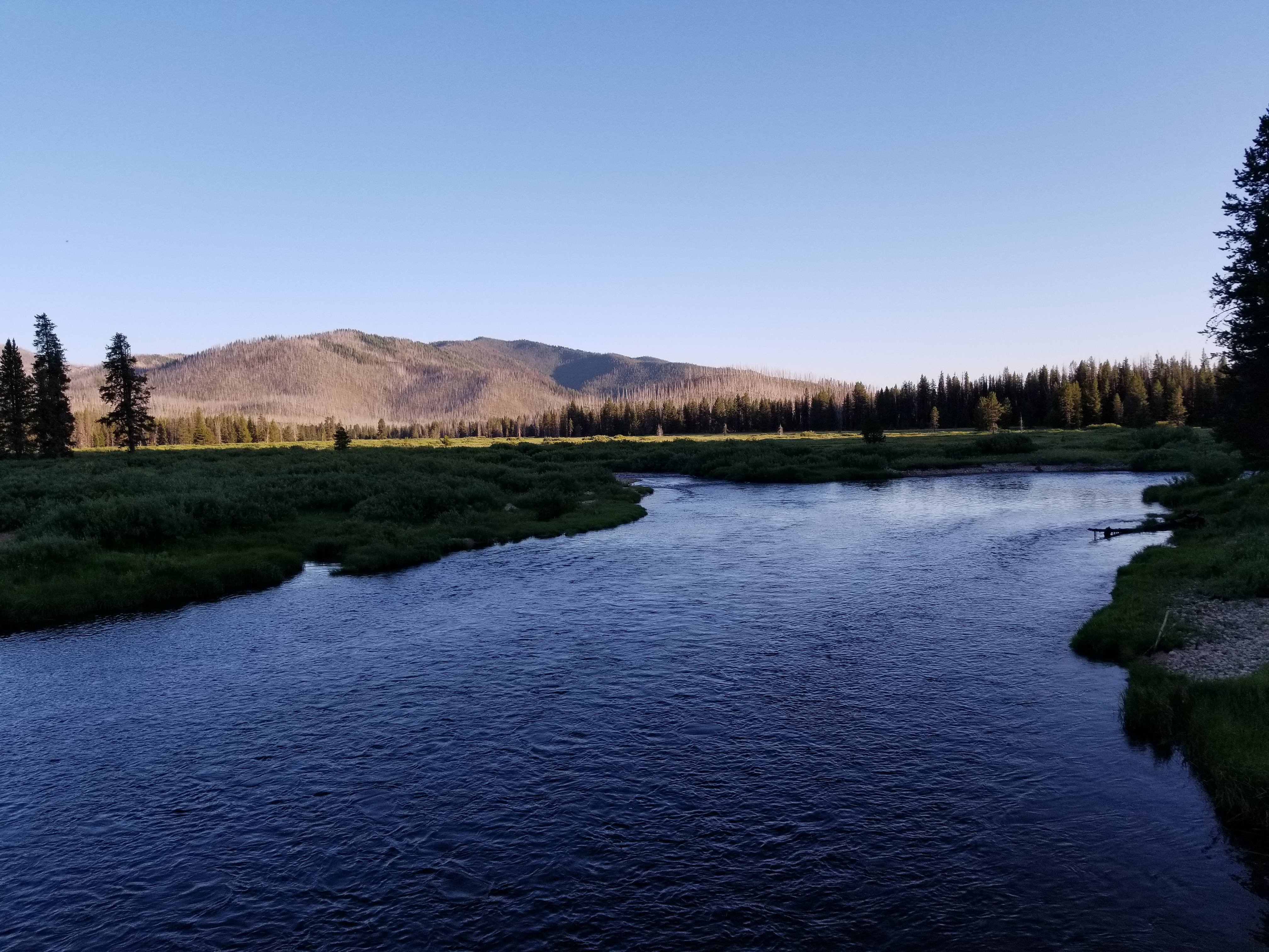
I drop down to the river. Looking for a way across, none is there. Guess I’m going in. I begin to cross the river thinking this isn’t going to be easy if I have to bring the bikes across, slip, almost fall, right myself, continue, just as the water hits my crotch it starts to get more and more shallow and I’m on the other side. Not wanting to have wasted that effort, I hope that there is a road above me. I force myself over and through the thick vegetation to the top of the bank, stopping occasionally to holler at Kathleen. I’m on top. No road. I can feel panic beginning to build within my body, but I notice a clearing and walk another 30 yards or so and…. BOOM! the road we would be on had we gone right straight.
Now we just had to get the bikes there.
I reverse my route and find KB where I left her and surprisingly good spirits, much better than mine as I was feeling a bit inadequate having lost the trail. We dragged the bikes down to the river, unloaded and began ferrying our gear across. The river was strong but we were determined and eventually our bikes, all of our gear and ourselves were at the top of the bank with only a few downed trees between us and the road.
It was at this point that we recognized that the GPS was going to be right. The map and cue sheet had way too much chance for interpretation in them to use for anything more than suggestions… From here on out, we always defaulted to the Garmin.
Once back on the actual route, we began making some good time. We were both a little fatigued from dragging our 60 pound bikes over and under trees for the better part of 2 hours in addition to our river crossing. Luckily, the rest of the day was spent in mountain valleys without much of anything in the way of climbing.
Somewhere around mile 46, we hit Bear Valley Campground. It was almost time for dinner and we pulled in to eat and then see how we felt about continuing. And that was the end of the day. We probably would have had another 15-20 miles under the belt if it hadn’t been for our 1.5 mile trip through the woods.
Maps
Photo Evidence


